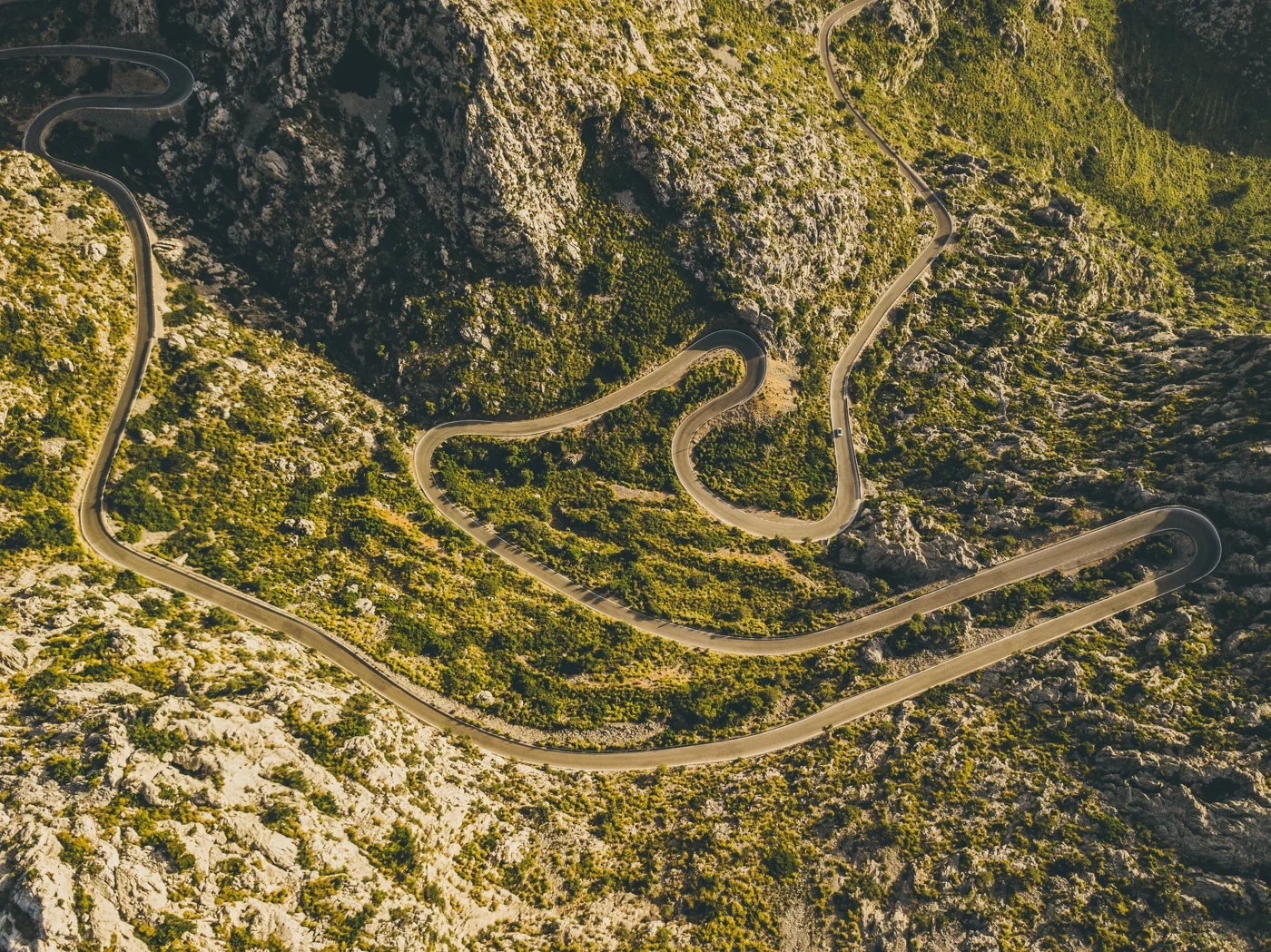
Sa Calobra (Coll dels Reis)
Ride Sa Calobra in Mallorca’s Serra de Tramuntana: a demanding climb from the coast towards Coll dels Reis. This GPX covers 10.1 km and approximately 677 m of ascent.
10.1 km · approx. +677 m
Route guide & GPX →Compare six road cycling routes in Mallorca: Sa Calobra, Cap de Formentor, Puig Major, Coll de Sóller, Andratx to Port de Pollença and the Calvià Loop. Each guide explains the actual downloadable file, route type and planning considerations.
Ride Sa Calobra in Mallorca’s Serra de Tramuntana: a demanding climb from the coast towards Coll dels Reis. This GPX covers 10.1 km and approximately 677 m of ascent.
10.1 km · approx. +677 m
Route guide & GPX →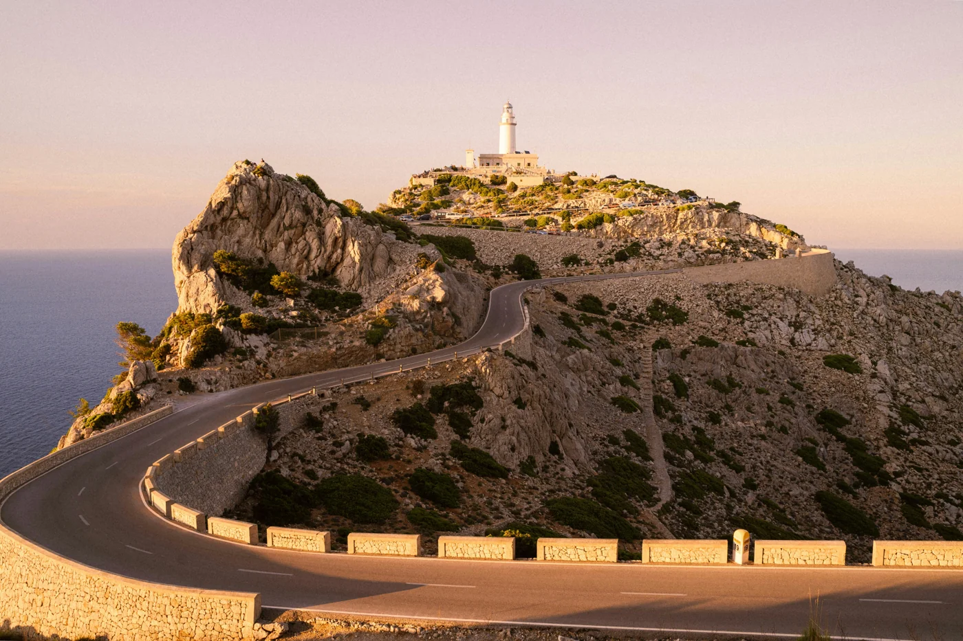
Explore the Cap de Formentor lighthouse ride in northern Mallorca. This 48.9 km GPX includes the Pollença Bay approach, the ride through Port de Pollença and the return from the lighthouse.
48.9 km · approx. +760 m
Route guide & GPX →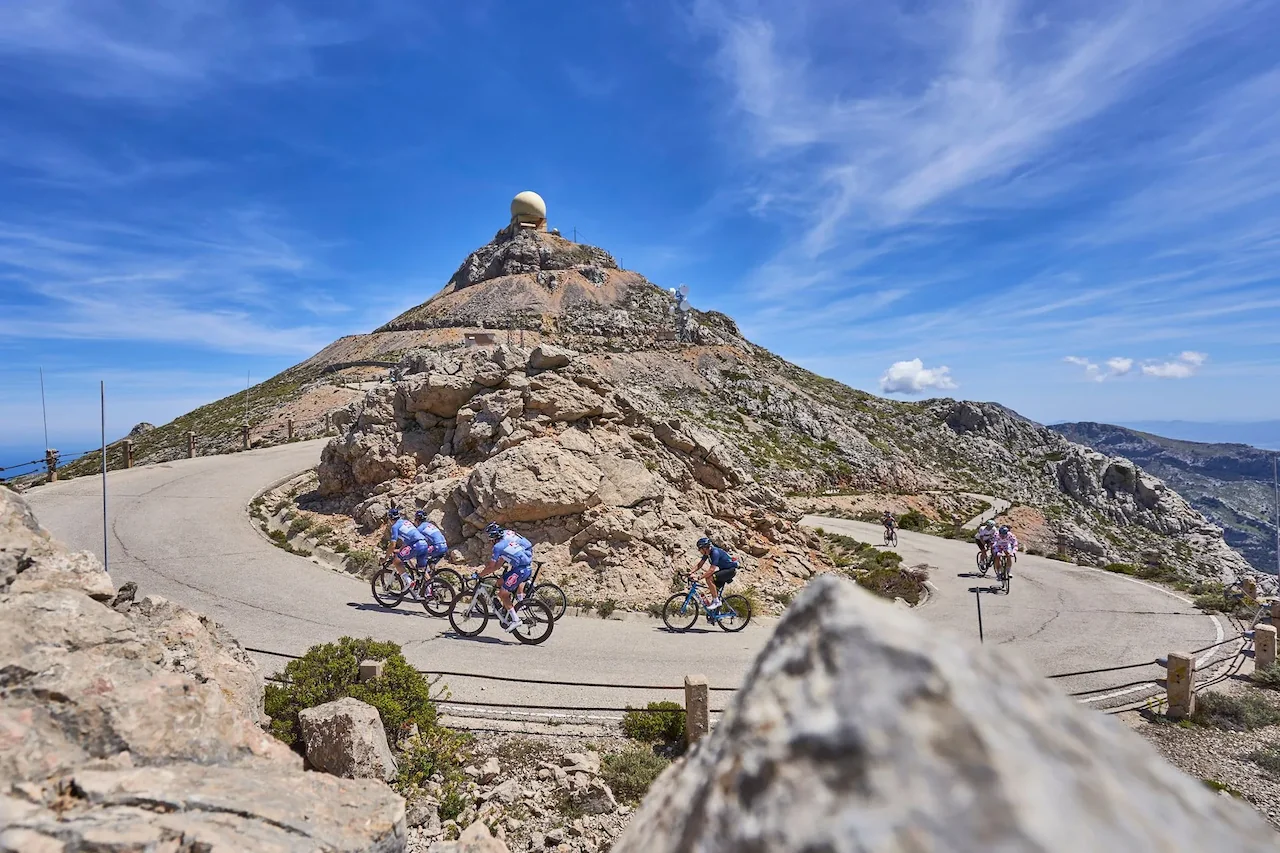
Climb from Sóller towards the Monnàber tunnel on the Puig Major road. This 17.1 km GPX follows a public-road climb in the Serra de Tramuntana, not a route to the restricted mountain summit.
17.1 km · approx. +959 m
Route guide & GPX →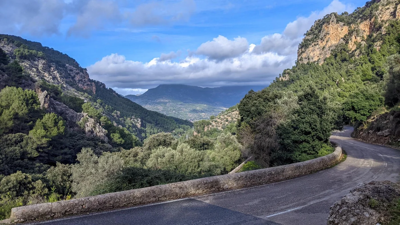
Ride the old Coll de Sóller road up and down from the Port de Sóller side. This detailed road-cycling GPX covers 21.4 km and approximately 534 m of recorded ascent.
21.4 km · approx. +534 m
Route guide & GPX →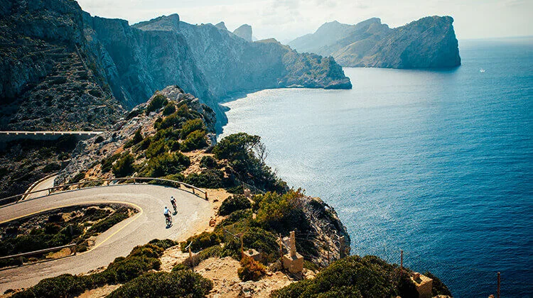
Cross the Serra de Tramuntana from Andratx to Port de Pollença on a 114.0 km road cycling route. This point-to-point GPX includes approximately 2,435 m of recorded ascent.
114.0 km · approx. +2,435 m
Route guide & GPX →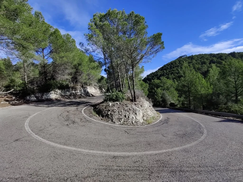
Explore southwest Mallorca on the Around Calvia GPX: a 55.3 km road cycling loop starting and finishing near Magaluf, with approximately 982 m of recorded ascent.
55.3 km · approx. +982 m
Route guide & GPX →Yes. Each Iconic Routes guide links to a free GPX download. Check the route type and file notes first: Coll de Sóller is an up-and-down mountain climb, and the extra Sa Calobra ascent-only file contains just three waypoints.
No. Published figures are approximate calculations from the supplied GPX track points. Recording quality, elevation noise and route start or finish choices can change the figures shown by your cycling computer.
No. The GPX follows the public road from Sóller towards the Monnàber tunnel area. It does not provide access to the restricted summit.
The downloadable 114.0 km route finishes in Port de Pollença, not in central Pollença. It is a point-to-point ride, so arrange your return separately.
The collection includes Sunset at €64.50, Pink at €87.90 and White at €87.90. See the individual jersey pages for images and ordering information. Confirm size availability, delivery charges and the final total before purchase.